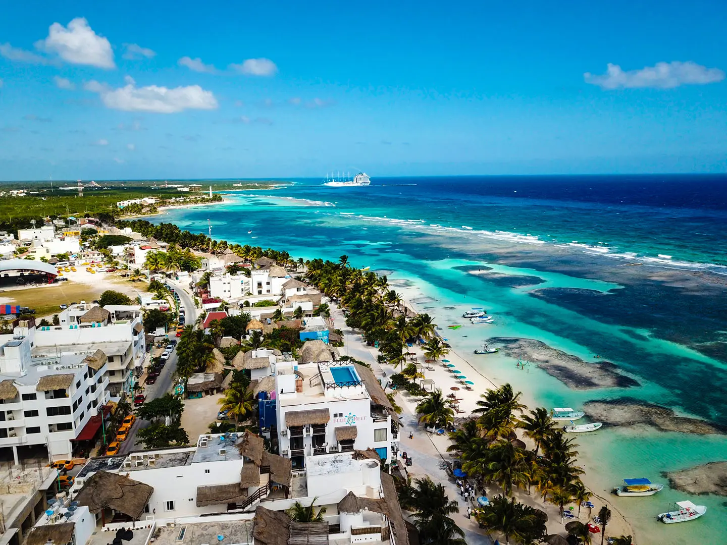
A guide for your own pace
Sargassum and weather in Mahahual: keep plans flexible
Check recent reports, ask about sea conditions and prepare alternatives for your Costa Maya day.
Quick answer
How can you check sargassum in Mahahual?
Consult SEMAR bulletins and UNAM monitoring, check the observation date and request a recent image of your actual beach. These sources provide context rather than a guarantee for a beach or snorkeling trip. This article is a planning guide, not a live conditions report.
An old photograph cannot tell you the current state of a beach. Sargassum arrivals and visibility vary with winds and currents. Check SEMAR reports and ask the operator for recent information about the specific departure area.
Offshore snorkeling does not guarantee sargassum-free water or perfect visibility either. If navigation is not authorized, follow the operator’s instructions and review your booking’s change options. A promenade, food or cultural day may be an alternative, depending on conditions.
01
Check the date before the photograph
A beach photo cannot describe the whole coastline or guarantee tomorrow. Ask when and where it was taken. SEMAR bulletins give regional context; compare that with a current update from your local operator.
02
Have two plans you actually like
Sargassum, visibility and navigation conditions are different questions. Do not assume a boat trip avoids every problem. Keep a land-based alternative and read the specific experience’s change terms before paying.
Information
check date, location and source.
Sea
confirm navigation permission and intended route.
Alternative
walk, rest or an agreed new date.
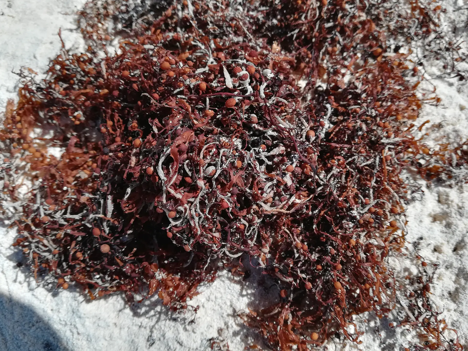
Illustrative example of sargassum in Barbados, May 2018. This is not a current Mahahual report.
Clump · Sargassum closeup Barbados.jpg · CC0. Format and size adapted for the web.
03
Beach conditions and reef conditions are different
Sargassum is floating algae that provides offshore habitat; winds and currents can carry accumulations ashore. Its presence in a regional image does not automatically describe the water at your meeting point.
Separate shoreline conditions, whether boats can operate and visibility at the activity site. A recently cleaned beach does not prove that the whole route has the same conditions. Request information about the actual place rather than a general Mahahual photograph.
Sources for this section
04
Reading reports and requesting useful updates
SEMAR publishes sargassum monitoring and LANOT–UNAM uses satellite imagery. Check when the observation was made, not only when you opened the page. Verify that the map covers the area you intend to visit.
Ask your accommodation when and where a photograph was taken and what the shoreline currently looks like. Ask the activity operator separately about departure point and planned site. Combining sources and local observation is more useful than treating a map color as a guarantee.
Sources for this section
05
Weather and flexible planning
The official Atlantic hurricane season runs from June 1 to November 30. It is a planning reference, not a forecast for every Mahahual day or an indication of continuous bad weather. Check notices close to departure.
If a marine activity cannot run, ask about agreed rescheduling or refund terms. Keep land-based time for ordinary changes in conditions. Official warnings take priority over moving to another beach or destination, which does not itself remove risk.
Sources for this section
Match information to the decision
| Option | Best suited to | What to check |
|---|---|---|
| Beach | Recent observation of the actual stretch | Image date, time and location |
| Snorkeling or boating | Operator assessment | Planned site and daily decision |
| Travel and transfers | Official weather notices | Validity and affected area |
Frequently asked questions
- Which month guarantees no sargassum?
- No month offers a guarantee. Arrivals and local conditions vary. Choose dates for your complete trip and check recent information before departure.
- Does this page show today’s conditions?
- No. It explains how to use sources. Open the linked reports, check their observation dates and request recent information about your actual destination.
- Can snorkeling operate when the beach has sargassum?
- The shoreline alone cannot answer that. The operator must assess navigation, the activity site and conditions for the day; a reservation does not guarantee departure.
- Is Bacalar an alternative to the sea?
- It is a separate destination requiring its own transport and planning. A lagoon visit does not guarantee good weather or replace checks on notices and access.
Before you set off
- Information: check date, location and source.
- Sea: confirm navigation permission and intended route.
- Alternative: walk, rest or an agreed new date.
Related experiences
Browse all tours →


Keep exploring
Mahahual guide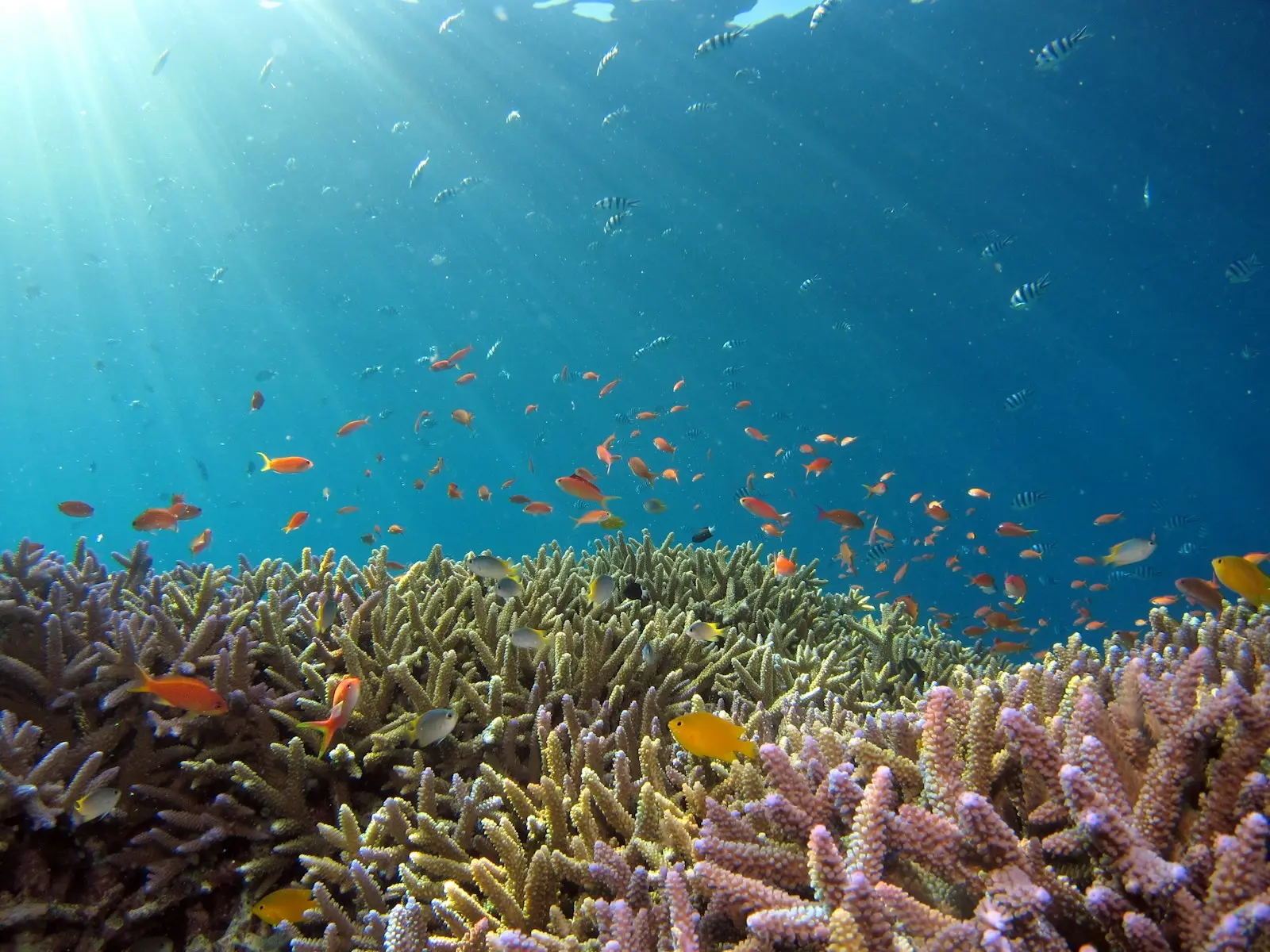
Snorkeling in Mahahual: discover the reef at your own pace
What to expect in the water, how to choose a guided trip and what to bring. A practical guide to enjoying and caring for Mahahual’s reef.
Read guideMahahual independently: promenade, lighthouse and beach
Plan a simple walk and distinguish open public spaces from privately charged beach services.
Read guideMahahual and Bacalar: combine two destinations
Combine Caribbean reefs and coast with the Lagoon of Seven Colors, giving each destination its own time.
Read guide